
Tenerife Overhauls Flood Risk Management Following Millions in Urban Damage Claims
Tenerife is overhauling its urban planning and water management strategies after historical data revealed that flood-related insurance claims in the capital and southern regions have reached millions of euros.
Tenerife is rethinking how it manages water risks following a major update to hazard maps by the Island Water Council (Ciatf). Data from the Insurance Compensation Consortium shows that between 1996 and 2024, the island’s capital accounted for 75% of all flood-related insurance payouts. These millions in damages highlight a long-standing issue: the way urban areas have been built over or near natural watercourses.
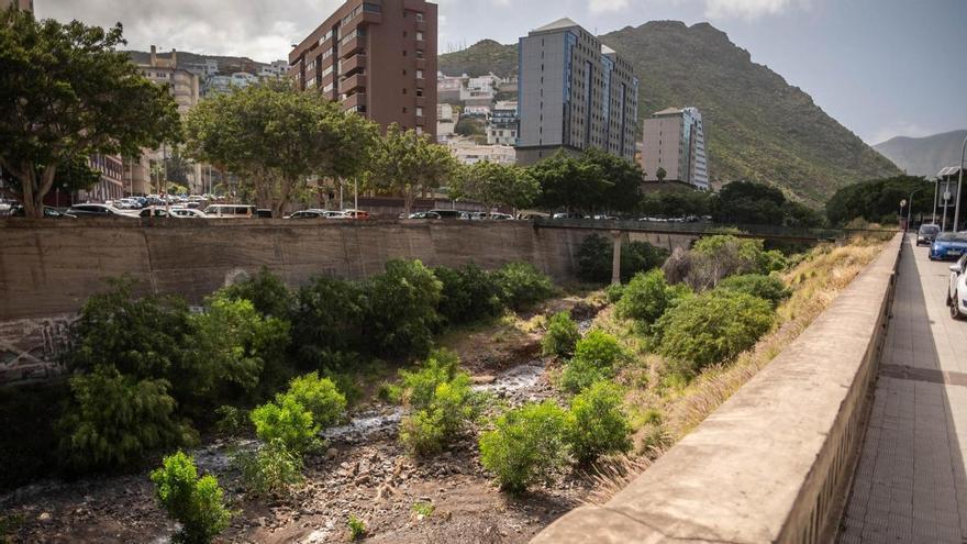
Technical analysis reveals that two specific areas—the Almeyda and Tahodio ravines—are responsible for 117 million euros in claims, or two-thirds of the island’s total. However, the Ciatf treats these risks differently. The Almeyda ravine is now a priority surveillance zone because buildings have been constructed directly in its path. In contrast, the Tahodio ravine was excluded from the list of 27 high-risk fluvial areas because the flooding there is caused by the city’s drainage system being unable to handle heavy rainfall, rather than the ravine itself overflowing.
Other critical areas in Santa Cruz, including the Santos, del Hierro, and del Muerto ravines, have caused over 36 million euros in historical damages. Outside the capital, the risk shifts to the south of the island. In Arona and Adeje, watercourses like the Aquilino, La Carnada, and Torviscas have each seen more than two million euros in claims, prompting authorities to step up preventive measures.
This planning is vital given the increase in extreme weather over the last decade. From the rains of 2018 to storms Claudia (2025) and Therese (2026), the island’s infrastructure has been pushed to its limits. The emergency in March 2026, which saw over 230 incidents in the capital alone, underscores the urgent need to use this data to guide future urban planning.
The current hydrological plan aims to do more than just track costs; it sets a roadmap for the next five years. By combining historical damage records with modern water modeling, officials hope to better prepare for an unstable climate, focusing on prevention and the protection of high-density areas to reduce the impact of future floods.