Tenerife on Alert as Saharan Dust and Strong Winds Hit Canary Islands
The Canary Islands are under alert as a combination of Saharan dust and strengthening winds creates hazardous conditions on land and at sea, with Tenerife placed under special observation by Aemet.
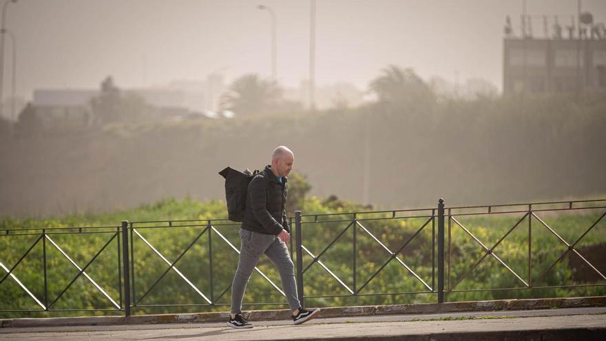
The Canary Islands are experiencing a shift in weather this Monday as an adverse system moves in, with the State Meteorological Agency (Aemet) placing Tenerife under special observation. A combination of Saharan dust and strengthening winds means residents should exercise caution both on land and at sea.
The "calima" (Saharan dust) is expected to increase throughout the day, reducing visibility and potentially affecting air quality. At the same time, strong trade winds are forecast, particularly across the island's northwestern and southeastern slopes, as well as at higher elevations where gusts will be strongest.
Temperatures remain varied: while the coast stays mild, the peaks near Mount Teide may see light frost in the early morning. The sky will generally be clear, though the northeast may see some low cloud cover and light, scattered showers early on.
Conditions at sea are a particular concern. Forecasts suggest a steady decline in maritime safety, with winds reaching force 7 on the Beaufort scale by the afternoon. This will lead to rough seas and northerly swells producing waves up to three meters high, requiring extreme care for all nautical and port activities. This weather event highlights how the island’s unique geography and proximity to the African coast can quickly intensify such conditions.