
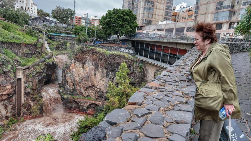
Tenerife Launches New Flood Risk Management Plan for 2027–2033
Tenerife’s Island Water Council has unveiled a new flood risk management plan for 2027–2033, utilizing advanced drone and LiDAR technology to enhance emergency preparedness across 27 high-risk areas.
Tenerife is upgrading its water management systems to better protect the public from flooding. The Island Water Council (CIATF) has finished reviewing the diagnostic tools needed to create a new Flood Risk Management Plan for 2027–2033. This plan is now open for public feedback for the next three months, as announced in the Official Gazette of the Canary Islands. Given the island’s rugged terrain and frequent extreme weather, this update is a vital step toward improving how authorities respond to emergencies.
The updated risk map identifies 27 areas with significant flood potential, which are divided into 30 critical sections across 16 municipalities. These areas include over 100 kilometers of waterways that will now be under priority surveillance. To ensure accuracy, the CIATF moved away from traditional methods, instead using drones and LiDAR technology to create high-precision digital terrain models. These models allowed experts to run advanced hydraulic simulations, helping them predict how water will flow during different weather events.
Blanca Pérez, the Councilor for Natural Environment, Sustainability, Security, and Emergencies, emphasized that this is more than just paperwork. She views the plan as a practical tool that elevates flood prevention to the same level of importance as monitoring forest fires or volcanic activity. By providing municipalities with detailed maps and data, the study gives local leaders the information they need to better plan their territories and implement effective safety measures.