
Tenerife Heatwave Ends as Temperatures Begin to Drop
Tenerife’s extreme heatwave is subsiding this Monday as temperatures across the Canary Islands begin to stabilize following days of record-breaking heat.
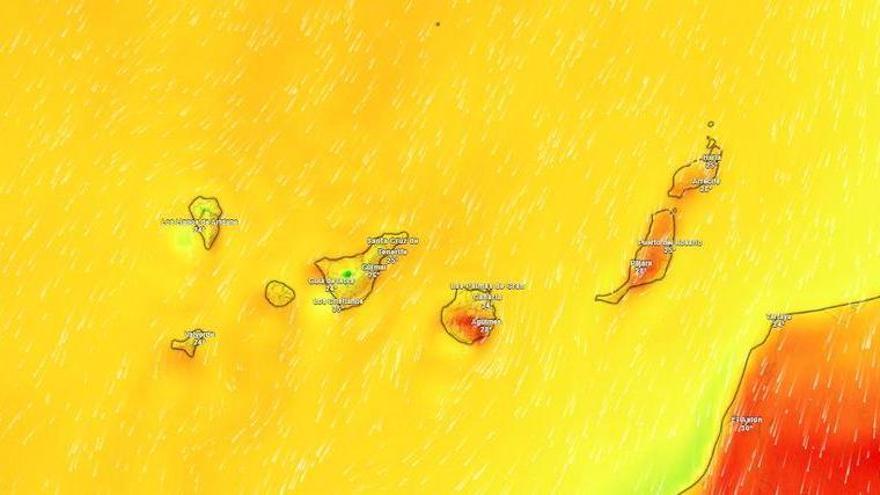
The State Meteorological Agency (Aemet) has confirmed that the extreme heatwave in Tenerife is coming to an end this Monday, August 10. After several days of temperatures consistently topping 30°C, the island is seeing a welcome cooldown, with temperatures now settling between 22°C and 28°C.
This relief will vary depending on where you are on the island. While temperatures are dropping—particularly in inland areas and the mid-altitude regions facing east, south, and west—some spots may still occasionally hit 30°C. These local differences are common due to Tenerife’s complex landscape and the way the terrain interacts with the trade winds.
As for the weather, the northeast of the island will remain cloudy, with low clouds between 1,000 and 1,100 meters that may bring light rain early in the morning or late at night. The rest of the island can expect clear or mostly sunny skies. Winds will blow moderately from the northeast, picking up speed in the southeast, the far northwest, and parts of the metropolitan area, where stronger gusts are expected.
Across the rest of the Canary Islands, the pattern is similar. The northern slopes of the mountainous islands will be cloudy, with a chance of light rain overnight. The eastern islands will see a mix of clouds and sunshine throughout the day. Temperatures will remain stable in the north, while the south will see a moderate drop. Winds will remain strong in certain areas, particularly around Jandía in Fuerteventura and the exposed slopes of Gran Canaria, where the terrain often causes gusts to accelerate during the day.