Temperatures to Rise Across Canary Islands as Trade Winds Persist
The State Meteorological Agency reports rising temperatures across the Canary Islands this Thursday, with varied cloud cover and moderate northeast winds expected throughout the archipelago.
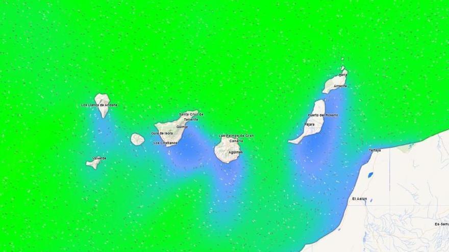
The State Meteorological Agency (Aemet) reports that temperatures will rise across the Canary Islands this Thursday, June 11, particularly in higher-altitude areas. Driven by typical trade wind patterns, maximum temperatures in Tenerife are expected to reach between 20 and 26 degrees Celsius, while minimum temperatures will remain steady.
In Tenerife, cloud cover will vary by location. The northern part of the island, below 700 to 900 meters, will be overcast early and late in the day. The rest of the island will see mostly clear skies, with only brief morning clouds in the southwest. This is a common result of northeast winds interacting with the island’s volcanic terrain, often creating a "sea of clouds" on windward slopes.
Winds will generally blow from the northeast, with stronger gusts expected early in the day in the southeast and far northwest. Coastal areas in the west will see light breezes, while mid-to-high altitude areas should become calmer as the day progresses. In contrast, the central peaks will experience westerly winds that are expected to strengthen by the afternoon.
A similar pattern is expected across the rest of the archipelago. Lanzarote and the northern slopes of the higher islands will see cloudy intervals that should clear by late afternoon. Temperatures will rise moderately inland, accompanied by northeast winds that will gradually ease throughout the day. These conditions highlight the Canary Islands' unique climate, where altitude and Atlantic exposure can create significant weather variations over short distances.