
Santa Cruz de Tenerife Begins Redrawing Coastal Boundaries Following Storm Damage
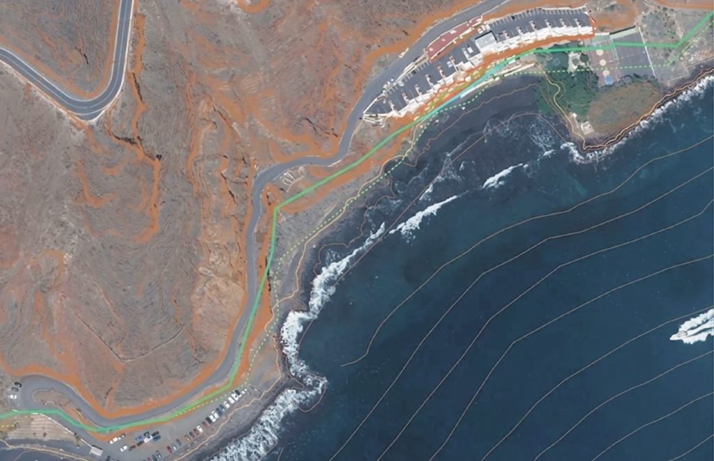
The Spanish Ministry for the Ecological Transition has initiated a redrawing of coastal boundaries between Las Teresitas and Playa del Burro in Santa Cruz de Tenerife to account for land changes caused by severe weather.
Coastal management in Santa Cruz de Tenerife is undergoing a major update. According to the Official Gazette of the Province (BOP), the Ministry for the Ecological Transition has begun redrawing the boundaries of the public coastline along a 1,756-meter stretch between Las Teresitas and Playa del Burro. Based on a report by Tragsatec, this project aims to align legal boundaries with the physical reality of the coast, which has been reshaped by recent severe weather. This move is essential for ensuring safety and managing land use in an area where human infrastructure meets challenging terrain.
The update is based on data from 2014 to 2018, a period marked by intense storms. By analyzing historical records from State Ports—including the major storms of January 2014 and February 2015—experts were able to model how the sea behaves along the Anaga coast. This analysis, which accounts for both tides and wave run-up, showed that the previous legal boundaries needed to be adjusted.
The findings highlight the vulnerability of this coastline. In flatter areas, the maximum flood level reached 2.88 meters, while in steeper areas, waves hit the land with much greater force. At locations like Playa Chica and Las Gaviotas, wave reach was calculated at 9.41 and 9.25 meters, respectively, with similar high values recorded at Caleta El Galeón and Playa del Burro.
This new plan revises a 2022 proposal and shifts the markers that separate public and private property. Because the area includes breakwaters, trails, and various residential and leisure structures, this change is significant. A provisional map has now been published, and property owners have one month to review the new boundaries and submit any formal objections. This process highlights the increasing need to adjust urban planning to account for coastal risks and changing weather patterns.