
Canary Islands See Slight Temperature Drop as Heat Persists
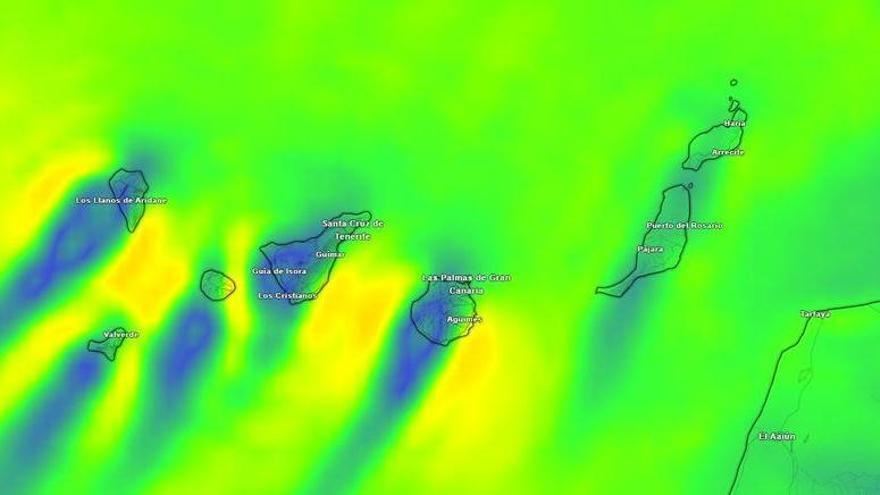
The Canary Islands will experience a slight drop in temperatures this Saturday, though high heat persists in several regions as trade winds continue to influence the archipelago.
The State Meteorological Agency (Aemet) reports that the Canary Islands will see a slight drop in temperatures this Saturday, August 15. While the relief will be felt across the archipelago, high temperatures will persist in several areas due to the ongoing influence of the trade winds.
In Tenerife, the cooling will be most noticeable at higher altitudes and on the southern and western slopes. However, it will remain hot in low-lying southern areas and parts of the metropolitan region, where temperatures will hover near 30ºC. With nighttime lows staying between 24ºC and 26ºC in the warmest spots, authorities continue to monitor the heat as a potential risk to public health and water supplies.
Winds will blow moderately from the northeast, with stronger gusts expected at the southeastern and northwestern tips of the island and parts of the metropolitan area. On the peaks of Mount Teide, winds will come from the west with occasional strong intervals, while the southwest coast will see a light breeze.
Cloud cover will be more common on the northern side of Tenerife, with a slight chance of light, scattered rain. This pattern, caused by trade winds interacting with the landscape, will also affect the northern parts of Gran Canaria, La Gomera, La Palma, and El Hierro. Gran Canaria may see some drizzle in mid-altitude areas by late afternoon.
Lanzarote and Fuerteventura will remain mostly clear. Fuerteventura will stay particularly hot, with highs reaching 32ºC. Similarly, temperatures in Gran Canaria’s Tejeda basin and its southern and western lowlands will reach between 30ºC and 32ºC, showing that the summer heat remains a significant factor across the islands despite the slight cooling trend.