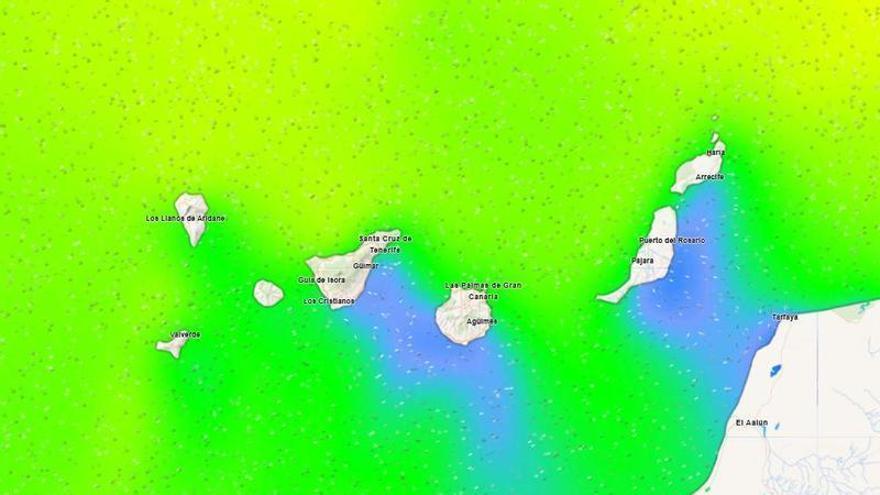
Canary Islands on Alert for Strong Winds, Rough Seas.
Tenerife and the Canary Islands face a weekend of unsettled weather, with coastal alerts for very rough seas and strong winds, including gusts over 70 km/h, exacerbated by spring tides.
Tenerife is set for unsettled weather this Saturday, January 17th. The island can expect strong winds, moderate rain, and big waves, according to the State Meteorological Agency (Aemet).
In fact, a coastal alert will be in place from noon on Saturday for Tenerife and the rest of the Canary Islands. The Government of the Canary Islands states that this alert specifically covers the north and west coasts of La Palma, La Gomera, and El Hierro; the north coasts of Tenerife and Gran Canaria; the channels between islands; and all of Lanzarote and Fuerteventura.
This warning has been issued due to forecasts of very rough seas. Waves from the northwest are expected to reach or exceed 4-5 meters, with long intervals between them (over 12 seconds).
Winds will also be strong from the northwest, reaching Force 7 (50-61 km/h), later shifting north. The sea will become increasingly choppy, turning rough by Sunday, with some areas experiencing very rough conditions. This will mainly impact the west, north, and northwest-facing coasts, as well as the channels between islands.
Sea conditions are expected to worsen further over the weekend. This is partly because Sunday, January 18th, brings a new moon and spring tides, meaning unusually high tides.
High tide times are: 12:22 PM to 12:58 PM on Saturday, January 17th; and 12:30 AM to 1:09 AM and 12:53 PM to 1:33 PM on Sunday, January 18th.
While Saturday will be challenging at sea, Sunday also looks difficult due to strong winds. The Government of the Canary Islands will issue a strong wind alert for the western islands and Gran Canaria from midnight on the 18th, with a pre-alert for the rest of the archipelago.
This wind alert specifically targets the mountain peaks of La Palma, La Gomera, El Hierro, Tenerife, and Gran Canaria.
Winds will generally blow from the northwest, shifting north later in the day. They will mainly affect the summits and the eastern and western slopes of the mountainous islands, as well as Lanzarote and Fuerteventura during the middle of the day. Gusts are expected to hit or exceed 70 km/h, with some very strong gusts possibly reaching over 90 km/h on the highest peaks.