Canary Islands Heatwave Ends as Temperatures Set to Plummet
The Canary Islands are set for a significant cooldown this week as temperatures drop and cloudier, wetter conditions replace the recent unseasonable heatwave.
The Canary Islands are set for a major weather shift this week, bringing an end to the unseasonable heatwave that saw temperatures climb above 30°C last weekend in areas like Tenerife South, Puerto de la Cruz, and La Aldea de San Nicolás.
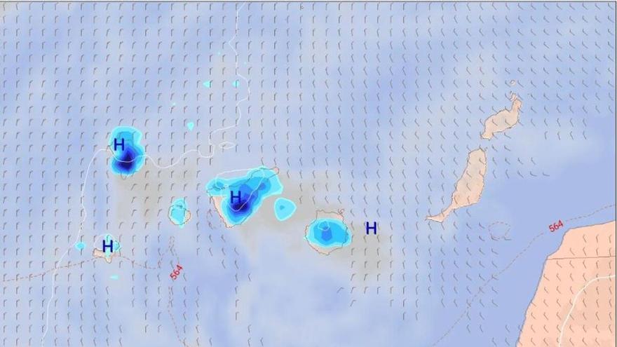
According to the State Meteorological Agency (Aemet), the warm, stable conditions will give way to cloudier skies and cooler temperatures starting Tuesday. This trend is expected to continue through Thursday, with the northern parts of the mountainous islands likely to see light, occasional rain, particularly toward the end of the day.
The drop in temperature will be most noticeable in Tenerife. After reaching nearly 30°C on Sunday, maximum temperatures are forecast to fall to around 20°C by Wednesday. In the capital cities, the change will be more moderate: Santa Cruz de Tenerife will see temperatures shift from a high of 23°C on Tuesday down to 20°C by Wednesday and Thursday. Las Palmas de Gran Canaria will follow a similar pattern, moving from a high of 22°C to a steadier range of 17°C to 20°C.
Wednesday and Thursday will remain mostly cloudy across the northern slopes, with a chance of isolated showers in the south during the afternoons. Lanzarote and Fuerteventura will also see more cloud cover and a slight chance of light rain. A light northerly breeze will persist, shifting to the southwest at higher altitudes, marking a return to more typical seasonal weather after the recent spell of unusual heat.