
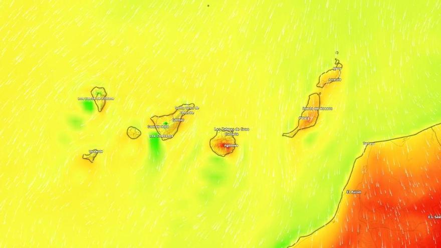
Canary Islands Forecast: Rising Temperatures and Strong Winds Expected Monday
The Canary Islands will experience rising temperatures exceeding 30°C alongside strong trade winds and rough coastal conditions this Monday, according to Aemet.
The Canary Islands will see stable weather this Monday, with temperatures rising across the archipelago, according to the State Meteorological Agency (Aemet). This warming trend, which will be most noticeable in inland and mid-altitude areas, is driven by the trade winds that regularly shape the islands' climate, affecting everything from cloud cover to sea conditions.
Temperatures are expected to climb above 30°C in parts of southern Tenerife and the mid-altitudes of Gran Canaria. At the same time, strong north and northeast winds are forecast, particularly on the southeast and northwest slopes. In the high areas of Anaga, gusts could become quite intense by the afternoon.
As for the skies, low clouds will gather over the northern parts of the higher islands, though these are expected to clear as the day goes on. In Tenerife, clouds should stay below 800 meters, while in Gran Canaria, they may linger a bit longer in the north before clearing toward evening. Lanzarote, Fuerteventura, La Gomera, La Palma, and El Hierro will see a mix of clouds and sunshine, especially in areas exposed to the trade winds.
Coastal conditions will be rough to very rough, with winds reaching force 4 to 6. Anyone planning nautical activities should exercise extreme caution. The southern coasts, sheltered by the terrain, will remain calmer with local breezes. This combination of heat and wind highlights the islands' complex geography, where varying altitudes and winds create distinct microclimates that require ongoing attention from both the public and emergency services.