Canary Islands Forecast: Rising Temperatures and Scattered Showers Expected Monday
The Canary Islands will experience rising temperatures and increased cloud cover this Monday, with Aemet issuing a wind warning for Tenerife's central peaks and advising caution for maritime activities.
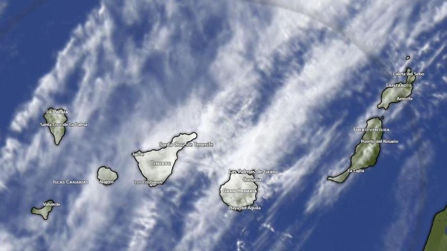
The Canary Islands will see a change in weather this Monday. According to the State Meteorological Agency (Aemet), cloud cover is expected to increase throughout the afternoon, particularly in the northern and eastern parts of the islands. Light, scattered rain is possible, especially in higher-altitude areas.
Temperatures will generally rise, though minimum temperatures will remain steady. Highs will range from 23°C in Las Palmas de Gran Canaria and Santa Cruz de la Palma to 24°C in Santa Cruz de Tenerife, Arrecife, Puerto del Rosario, and San Sebastián de la Gomera. The lowest temperature, 12°C, is expected in Valverde.
Winds will be light to moderate. In the western islands, winds will blow from the northwest, picking up along the coast in the afternoon. Aemet has issued a warning for the central peaks of Tenerife, where strong southwesterly gusts are possible. In the eastern islands, winds will be variable but mostly from the north, strengthening during the middle of the day.
These conditions will affect the coastline, with swells ranging from one meter in the west to three meters in the east. With wind speeds reaching levels 1 to 4 on the Beaufort scale and the possibility of occasional showers, those heading out to sea should exercise caution.
This mild instability is typical for the islands, where the mountainous terrain often dictates local weather patterns and rainfall.