Canary Islands Digitization Project Faces Legal Challenge Over Protected Land Boundaries
The environmental group Tabona has challenged a Canary Islands government digitization project, alleging that the proposed maps ignore previous court rulings and threaten the legal protection of the Malpaís de Güímar Special Natural Reserve.
A project to digitize protected natural areas in the Canary Islands has triggered a legal dispute. The regional government’s plan, intended to align local maps with European and Spanish standards, is being challenged by the environmental group Tabona. They argue that the proposal threatens the Malpaís de Güímar Special Natural Reserve in Tenerife by ignoring previous legal expansions and court rulings that protect the area.
The conflict centers on a mismatch between the government’s proposed maps and the legal boundaries established by Law 13/2006. Environmentalists claim the draft uses outdated maps that fail to include protected land between El Puertito and El Socorro. This omission contradicts a 2009 ruling by the High Court of Justice of the Canary Islands (TSJC), which previously blocked the Güímar City Council from using over 26,000 square meters of this protected land for sports and school facilities.
Tabona is concerned that moving these boundaries into a digital format creates several risks, including coordinate errors, the oversimplification of natural borders, and the fragmentation of wildlife habitats. The group fears that this administrative update could lead to the "de facto" loss of protected status for certain plots. While the draft does not explicitly state that protected land will be reduced, Tabona argues that any boundary change that excludes previously protected areas undermines the very legal certainty the project claims to provide.
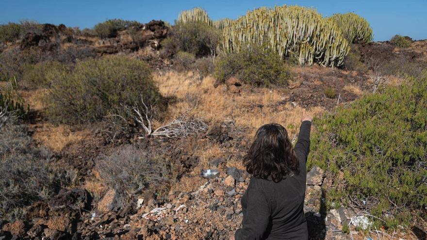
The Malpaís de Güímar spans 290.3 hectares and is a vital ecosystem, home to unique shrublands and protected species, including the Cory's shearwater. Given the ongoing urban pressure on this volcanic landscape, Tabona has requested more time to review the proposal, citing a lack of transparency and the complexity of the issue. The situation highlights the ongoing struggle to balance technical land management with the legal protections that prevent urban sprawl across the islands.