
Canary Islands Brace for Unstable Weather, Strong Winds and Rain
The Canary Islands face unstable weather this Thursday, characterized by persistent northern showers, strong trade winds, and cooling temperatures in higher-altitude regions.
Weather conditions in the Canary Islands will be unstable this Thursday, according to meteorological reports. A combination of changing rain patterns and stronger winds means people should exercise caution, especially when outdoors or near the coast.
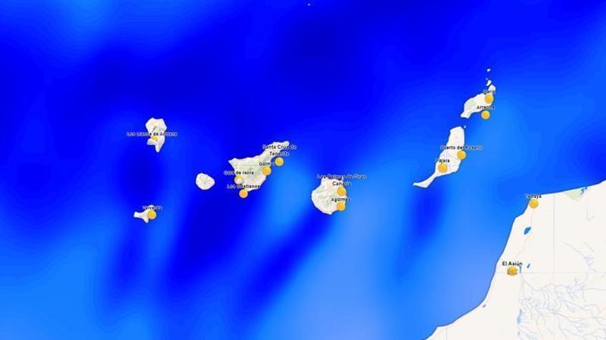
Rain is expected to be most frequent in the northern and mid-altitude areas, particularly during the first half of the day. The islands with higher terrain—Gran Canaria, Tenerife, La Palma, La Gomera, and El Hierro—will see the most persistent showers. However, conditions should improve by late afternoon, with skies clearing, especially on the southern slopes.
Strong trade winds will be the main feature of the day. Starting around midday, northeasterly winds will pick up, with particularly strong gusts expected in the southeast and northwest of the mountainous islands, as well as parts of Lanzarote and the Jandía peninsula in Fuerteventura. These winds will also affect sea conditions, leading to rougher waters with waves ranging from slight to moderate.
Temperatures will vary across the islands. While the day began with mild morning lows, daytime highs will drop in the northern mid-altitude regions. Despite this cooling, temperatures in the provincial capitals will remain moderate, reaching around 29°C in Santa Cruz de Tenerife and 26°C in Las Palmas de Gran Canaria.
This weather is driven by the trade winds, which are the primary force behind the islands' climate. The interaction between these winds and the volcanic landscape often causes "horizontal rain." This effect is being intensified today by a moisture front, which can occasionally disrupt travel and infrastructure in higher-altitude areas.