Canary Islands Brace for Unsettled Friday with Rain and Very Strong Winds
Tenerife and the wider Canary Islands are set for an unsettled Friday with light to heavy rain, very strong wind gusts, and rough sea conditions, prompting caution for coastal activities.
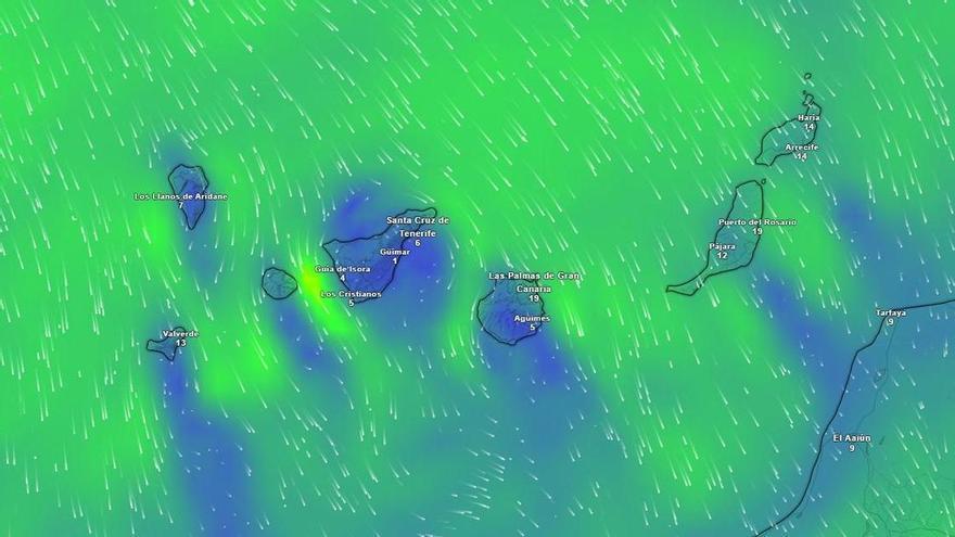
Tenerife is set for an unsettled Friday, according to the State Meteorological Agency (Aemet). Expect light, scattered rain on the northern slopes, becoming heavier and more frequent from the afternoon. There's also a chance of very strong wind gusts in certain parts of the island.
Rain will be more noticeable in the afternoon, particularly in the north. Other areas will see a mix of sun and clouds. Temperatures will stay much the same, though a slight drop is possible in the mountains, where a touch of frost isn't out of the question.
Wind will be a key feature, starting from the northwest and getting stronger, then shifting to the north by late afternoon. Aemet warns of occasional very strong gusts, especially along the dorsal ridge, in the higher parts of the Güímar valley, the south of the metropolitan area, and the central peaks. Here, winds could be consistently strong with very intense bursts.
Across the wider Canary Islands, light, scattered rain is expected on northern slopes, becoming more widespread and heavier in the afternoon. Very strong wind gusts will mainly hit the western islands, especially the northwest slope of La Gomera and other high, exposed spots.
On Gran Canaria, rain might spread from the north to the eastern slopes during the afternoon. La Palma and El Hierro are more likely to see rain later in the day, also with strong winds on exposed slopes and peaks.
At sea, expect north or northwest winds of force 3 to 4, occasionally reaching force 5. The sea will be slightly to moderately rough, with northwest swells of 3 to 4 meters, dropping to 2 to 3 meters by day's end. Therefore, caution is advised for coastal activities and boating.