Canary Islands Brace for Strong Winds and Rough Seas
The Canary Islands are bracing for a very windy Wednesday, January 14, with strong gusts and a pre-alert for rough coastal conditions featuring 3-4 meter swells.
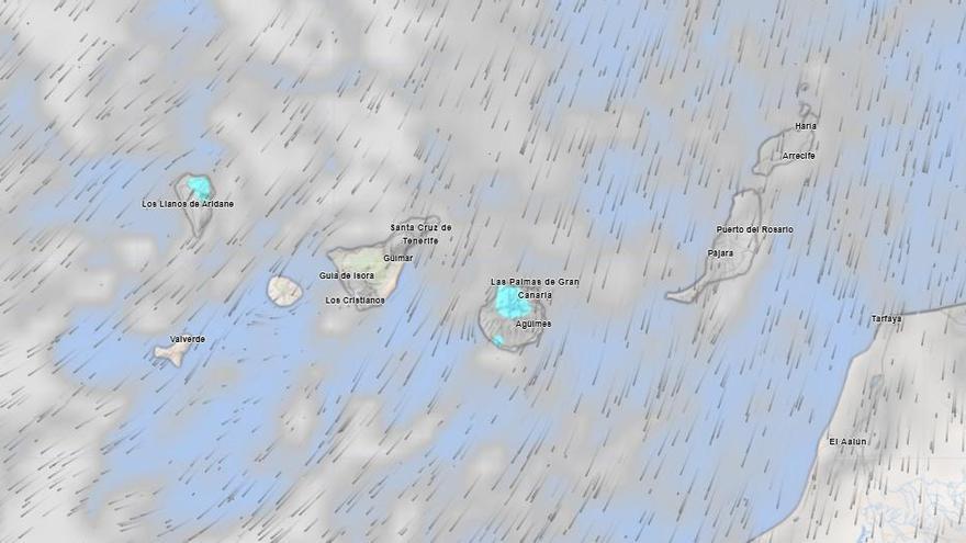
Wednesday, January 14, will be a very windy day across the Canary Islands. The State Meteorological Agency (Aemet) forecasts strong northeast winds, with powerful gusts expected on the southeast slopes and in the far northwest of the islands. Lighter breezes will be felt in the west. On the central mountain peaks, strong northerly winds with very powerful gusts are predicted, easing off by the end of the day.
There will be some cloudy periods, though eastern areas will mostly enjoy clear skies. A small chance of light, scattered rain exists in the northern and western mid-elevation regions of the mountainous islands. Overall, temperatures will remain largely unchanged.
In addition to the wind, a pre-alert for rough coastal conditions has been in place since Tuesday evening at 6:00 PM. The Canary Islands Government issued this alert due to forecasts of rough seas, with combined northwest swells expected to reach or exceed 3 to 4 meters.
This coastal alert affects the northern and western coasts of La Palma, La Gomera, El Hierro, Fuerteventura, and Lanzarote, as well as the northern coasts of Tenerife and Gran Canaria. Coastal winds will be northwest, blowing at force 3 to 5 (12-38 km/h), strengthening to force 6 (39-49 km/h) in exposed spots. These winds will shift to north or northeast overnight. Expect moderate to rough seas with northwest swells. These rough conditions will especially impact the islands' western, northern, and northwestern facing coasts.