Canary Islands Brace for Strong Winds and Approaching Atlantic Storm
The Canary Islands are bracing for a period of unsettled weather, with strong winds and light rain expected this weekend ahead of a potential Atlantic storm arriving next Tuesday.
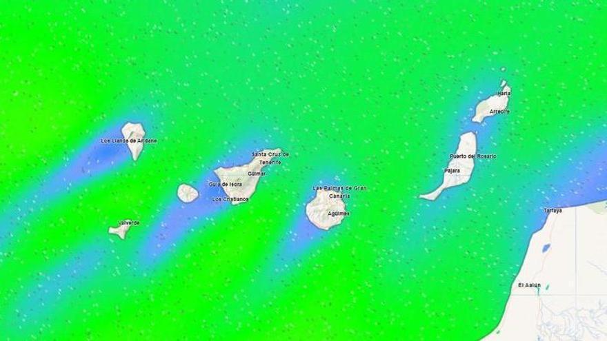
Unsettled weather is set to return to the Canary Islands over the coming days, according to the State Meteorological Agency (Aemet) and Meteored Spain.
This Sunday, March 15, the province of Tenerife will experience strong northeasterly winds. These will be particularly intense on the southeastern, western, and northwestern slopes, where strong gusts are expected throughout the first half of the day.
Temperatures will remain steady, generally ranging between 12°C and 21°C. In Tenerife, thermometers will hover between 15°C and 20°C, while La Gomera may reach highs of 21°C. La Palma will be slightly cooler, between 14°C and 18°C, and El Hierro will see temperatures ranging from 12°C to 16°C.
Expect cloudy skies across the northern parts of the islands, with a chance of light rain—which may be more persistent in La Palma. Light frosts are possible on the peaks of Tenerife, though winds at higher altitudes are expected to ease as the morning progresses.
This windy, overcast weather may be the start of a larger shift. After a long period of stable, high-pressure conditions, weather models suggest a change starting Tuesday, March 17. An Atlantic storm could bring renewed rainfall across the archipelago. Experts are monitoring the situation closely, as this shift could end the current dry spell and bring widespread rain to all the islands.