Canary Islands Brace for Persistent Trade Winds and Rough Seas This Saturday
The Canary Islands will experience persistent trade winds and stable temperatures this Saturday, with Aemet issuing maritime warnings for rough seas and potential light rain in northern areas.
The Canary Islands will see another day of trade winds this Saturday, according to the State Meteorological Agency (Aemet). Moderate northeasterly winds are expected to continue, with stronger gusts likely hitting the northwestern and southeastern slopes of the higher islands, as well as inland areas and the south of Jandía in Fuerteventura.
These persistent winds will affect both the temperature and the sea. Maritime warnings are in place for moderate to rough seas, with waves reaching up to two meters, so caution is advised for anyone heading out on the water. As for the weather, the typical trade wind pattern remains: northern areas will be cloudy with a slight chance of light rain in the early morning, while the rest of the islands—especially the central peaks—will enjoy clear or mostly sunny skies.
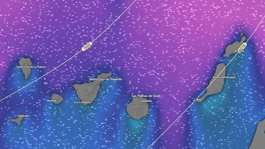
Temperatures will remain stable. In the capitals, Santa Cruz de Tenerife will see highs of 23°C and lows of 17°C, while Las Palmas de Gran Canaria will range between 17°C and 21°C. Elsewhere, maximum temperatures may rise slightly in the mid-altitudes and higher areas, but coastal temperatures will stay much the same. It is worth noting that occasional frost is possible on the peaks of Mount Teide.
Across the other islands, temperatures are expected to be:
- San Sebastián de La Gomera: 17°C to 21°C
- Santa Cruz de La Palma: 15°C to 21°C
- Valverde: 12°C to 15°C
- Arrecife: 15°C to 22°C
- Puerto del Rosario: 16°C to 22°C
This mix of sunshine, clouds, and wind highlights the unique way the islands' landscape interacts with the northeasterly airflows to shape the daily weather.