
Canary Islands Brace for Heatwave, Calima, and Storms
The Canary Islands are bracing for a challenging Saturday as AEMET forecasts a combination of intense heat, dusty calima, and potential storms across the archipelago.
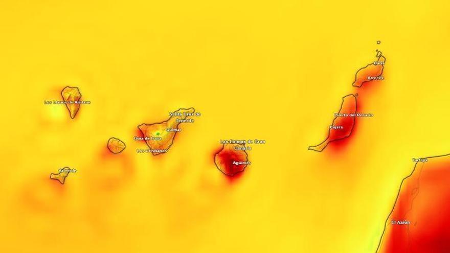
The Canary Islands are bracing for difficult weather this Saturday, September 5, as a mix of high temperatures, dusty haze (calima), and the threat of storms move across the archipelago. According to the State Meteorological Agency (AEMET), rising temperatures and atmospheric instability will create challenging conditions across all the islands.
The heat is expected to persist even through the night. In Tenerife, areas including the metropolitan region, Candelaria, and El Rosario could see temperatures reach 34°C in mid-altitude zones. Similar highs of 32°C to 34°C are expected in parts of Gran Canaria, La Gomera, El Hierro, and Fuerteventura. On La Palma, the heat will be most intense on the western side, with temperatures climbing to 32°C.
The presence of high-altitude haze and cloud cover will provide no relief, keeping the air feeling heavy and sultry. Weather instability is likely during the first half of the day, particularly in the western islands and Lanzarote, where isolated storms could occur. Any rain is expected to be light and mostly confined to higher elevations.
The heat is being intensified by strong trade winds, which will be particularly gusty in the low-lying areas of southeastern Tenerife. These winds are also causing sea conditions to deteriorate. AEMET warns that moderate swells will become rough, with wind speeds reaching force 4 to 6 across the islands' coastal waters.
These frequent bouts of extreme heat and haze highlight the Canary Islands' vulnerability to shifting Atlantic weather patterns. The situation requires careful management of water resources and ongoing caution regarding air quality, as well as safety warnings for those planning coastal or maritime activities.