
Canary Islands Brace for 34°C Heatwave and Strong Winds
The Canary Islands are bracing for temperatures exceeding 30°C alongside strong winds and rough coastal conditions as the State Meteorological Agency issues warnings for the archipelago.
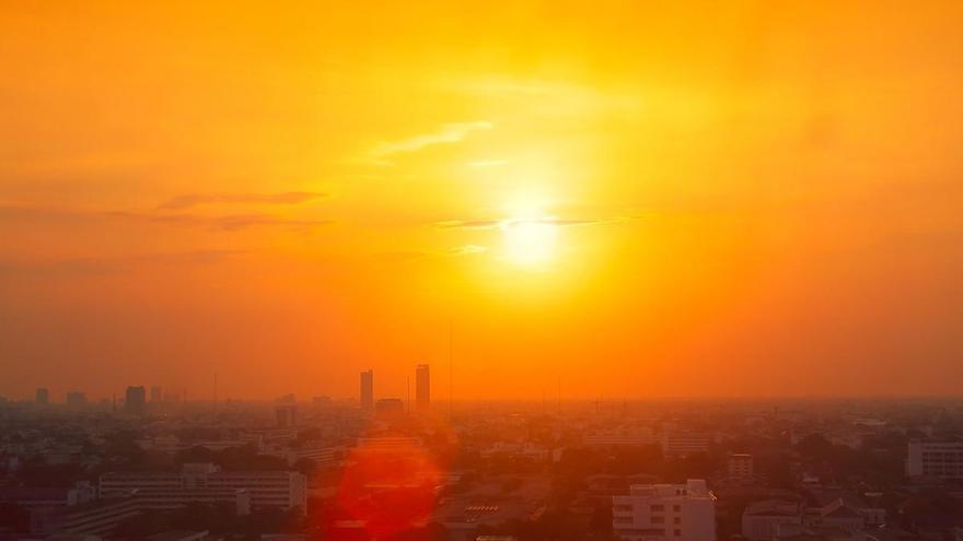
The Canary Islands are bracing for a spike in temperatures this Tuesday, with the State Meteorological Agency (Aemet) forecasting highs above 30°C across several parts of the archipelago. While this heat is typical for the region, residents and visitors should also prepare for strong winds, particularly on slopes facing the southeast and northwest.
The heat will be most intense in low-lying areas and mid-altitudes, where temperatures are expected to reach between 30°C and 32°C. Some western mid-altitude areas could see peaks as high as 34°C. In the capitals, Santa Cruz de Tenerife and Las Palmas de Gran Canaria, temperatures will hover between 23°C and 30°C, keeping conditions feeling warm throughout the day. These temperature variations are largely due to the islands' unique landscape interacting with the trade winds.
Beyond the heat, the main concern is the strengthening northeast wind. Aemet warns that winds will pick up as the day progresses, with potential for dangerous gusts in areas like El Paso, Jandía, and the island tips. Coastal conditions will also be affected, with rough seas and waves reaching up to two meters, requiring extra caution for anyone near the water.
Overall, the islands can expect mostly clear skies, as any morning cloud cover in the north is likely to clear by midday. This will allow for strong solar radiation, contributing to the sharp temperature differences often seen across the islands' varied terrain.