Atlantic Low-Pressure System Brings Unsettled Weather to Canary Islands
A stalled Atlantic low-pressure system is bringing increased cloud cover and a chance of light rain to the Canary Islands, while leaving the eastern islands largely unaffected.
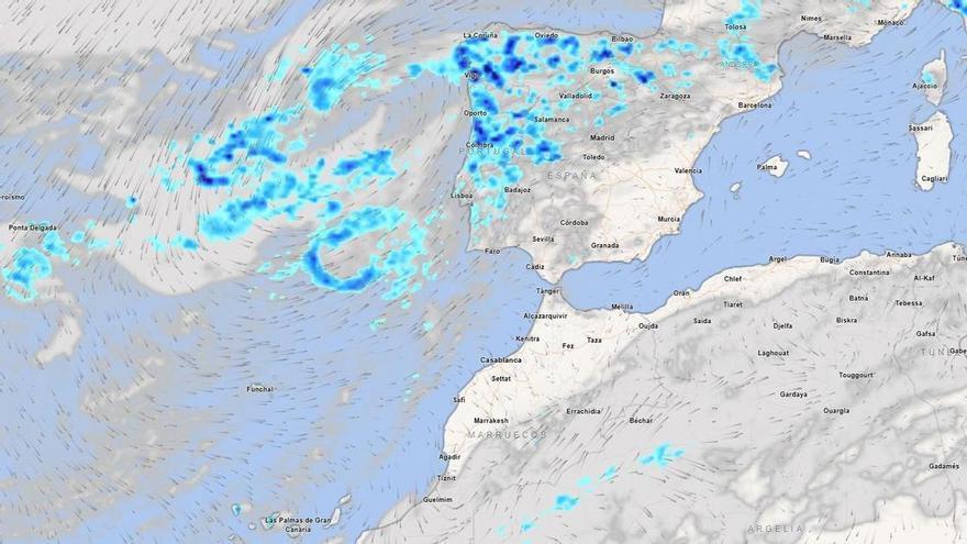
An Atlantic low-pressure system stalled west of Portugal is bringing unsettled weather to the Iberian Peninsula and now extending its reach to the Canary Islands, according to Spain’s State Meteorological Agency (Aemet). This system is causing more cloud cover and a shift in typical weather patterns across the archipelago.
The forecast for Monday shows a clear divide across the islands. Lanzarote and Fuerteventura will remain stable with mild temperatures and clear skies. However, the rest of the islands are in for a change. On the more mountainous islands, clouds will build throughout the day, with a chance of light, scattered rain in the afternoons, particularly in inland and mid-altitude areas.
In Tenerife, the morning will start with partial cloud cover on the northern and eastern slopes, with clouds increasing inland as the day progresses. Temperatures in Santa Cruz will stay moderate, peaking around 23°C. Conditions will be noticeably cooler at the higher peaks, where strong wind gusts are possible. Gran Canaria will see a similar trend, with temperatures rising slightly in the west and more clouds gathering in the north.
La Palma, La Gomera, and El Hierro can expect variable weather, with thicker clouds in the north and east and a small chance of light rain inland. While this Atlantic system is only moderately intense, it serves as a reminder of how these weather patterns can shift wind and cloud conditions, impacting daily life in the higher and more mountainous parts of the islands.