
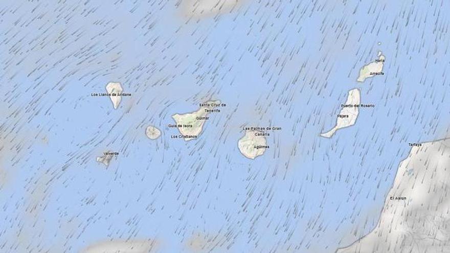
Aemet Issues Yellow Weather Alert for Rough Seas in Tenerife and Gran Canaria
Spain's State Meteorological Agency has issued a yellow weather alert for Tenerife and Gran Canaria due to rough seas and strong northeasterly winds expected to impact coastal areas starting this evening.
The State Meteorological Agency (Aemet) has issued a yellow weather alert for Tenerife and Gran Canaria for the start of September due to rough sea conditions that could disrupt coastal activities and navigation.
The alert focuses on the channel between the two islands and the southeastern coast of Gran Canaria. Forecasters expect northeasterly winds to reach speeds of 50 to 61 kilometers per hour—equivalent to force 7 on the Beaufort scale. This period of instability is expected to last from 9:00 p.m. until midnight, primarily affecting the east, south, and west coasts of Tenerife.
Elsewhere in the Canary Islands, the weather remains largely stable with clear or partly cloudy skies. The eastern islands may see some mid-to-high-level clouds, with only a slight chance of light rain.
Temperatures will remain steady overall, though they may rise slightly at mid-altitudes and dip at higher elevations. In low-lying areas of southern Tenerife and the southern metropolitan area, temperatures could climb to 30°C. Moderate northeasterly winds will persist, with stronger gusts expected in the northwestern and southeastern parts of the islands, as well as the southern interior of Lanzarote, particularly in the afternoon.
These warnings are common in the Canary Islands, where the terrain often accelerates wind speeds in the channels between islands. While the force 7 winds will impact specific coastal areas, they are not expected to significantly change the general temperature outlook across the region.