Aemet Issues Yellow Alert for Canaries Rough Seas, Strong Winds Monday
The State Meteorological Agency (Aemet) has issued a yellow alert for rough seas in the western islands and Gran Canaria starting Monday, March 9.
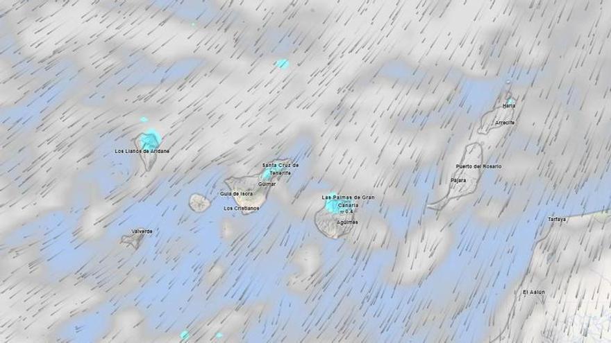
The State Meteorological Agency (Aemet) has issued a yellow alert for rough seas in the western islands and Gran Canaria for Monday, March 9. This alert, based on recent information, highlights how often the archipelago is affected by Atlantic weather, which can impact sailing and coastal activities.
The alert will start at 2:00 PM in the main islands, then extend to other affected areas from 8:00 PM. In Tenerife, strong northeasterly winds are expected, reaching speeds of 50 to 61 km/h (Force 7) on the eastern, southern, and western slopes. The island's weather forecast includes cloudy periods, with more clouds in the north and west, and clearer skies in the southeast. There's a chance of light, occasional rain, especially in the higher areas of the northeast. Temperatures will remain stable, between 16 and 19 degrees Celsius, though the highest central peaks might experience light frost. The characteristic trade winds will blow intensely on the southeast slope and the far northwest, where very strong gusts are expected during the afternoon. Lighter breezes will be present in the west.
Across the entire archipelago, the mountainous islands will also experience very strong northeasterly gusts at times, especially on their northwestern and southeastern slopes. Tenerife and La Gomera have a higher chance of these strong gusts late in the day. These islands will see similar cloud conditions, with more overcast skies in the north and clearer skies along the southern coasts. For Lanzarote and Fuerteventura, cloudy periods are forecast, which could become fully overcast. There's a low chance of light, scattered rain in the north, more likely in the higher areas.