
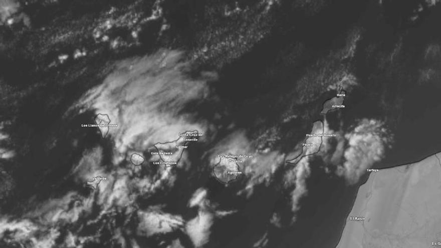
AEMET Issues Wind Warning for Canary Islands as Trade Winds Intensify
AEMET has issued warnings for strong trade winds and rough sea conditions across the Canary Islands this Friday, August 28, 2026, as gusty weather impacts travel and coastal safety.
This Friday, August 28, 2026, the Canary Islands will continue to experience trade winds, which the State Meteorological Agency (AEMET) warns will cause atmospheric instability in higher altitudes and on northern slopes. A steady flow from the northeast will shape the weather, bringing strong winds that could impact both travel and safety.
The morning will start with low clouds and light rain in the northern mid-altitudes, but these should clear up as the day goes on, leaving most of the islands with sunny skies. The main concern will be the wind; it is expected to pick up during the afternoon, with particularly strong gusts hitting the southeast, northwest, and inland areas, including parts of El Paso and El Pinar.
Conditions at sea will be rough to very rough. AEMET has issued a warning for winds that may occasionally reach force 7 on the Beaufort scale, alongside a one-meter swell from the northwest. While these conditions are typical for the region, they remain important for transport and logistics. Temperatures will stay mostly stable, with only slight drops expected in the high-altitude areas and central peaks.
While the northern slopes will be cloudy and humid early on, the rest of the islands can expect clearer weather. Overall, temperatures will remain steady, but residents and visitors should stay alert to the afternoon wind gusts, which may affect outdoor plans and travel.