Aemet Issues Wind Warning for Canary Islands as Gusts Strengthen
The State Meteorological Agency has issued a wind warning for the Canary Islands this Sunday, with strong gusts expected to impact exposed areas throughout the day.
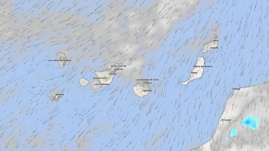
The State Meteorological Agency (Aemet) has issued a weather warning for the Canary Islands this Sunday, with strong winds expected to be the main concern. Residents and visitors should exercise caution in exposed areas, particularly during the second half of the day.
In Tenerife, the weather will vary by region. The north and northeastern midlands can expect cloudy skies and a chance of light rain in the morning, though conditions will improve as the day goes on. By evening, cloud cover will drop below 900 meters, while the rest of the island will see clear or mostly clear skies.
Temperatures will also vary across the island. Coastal areas will remain steady or see a slight drop, while the southern and western midlands and higher altitudes will experience a moderate rise in temperature. Overall, temperatures will range between 22°C and 28°C.
The primary focus remains on the trade winds. While winds will generally be moderate, they are expected to strengthen throughout the day. High-powered gusts are likely on the southeastern slopes and the far northwest by the afternoon. The southwest will see lighter breezes, while southerly winds are expected on the central peaks.
This windy pattern will affect the rest of the archipelago as well. Northern midlands across the islands may see light, scattered showers during the morning, while inland areas facing south and west will see a rise in maximum temperatures. Overall, it will be a day to stay alert for wind warnings in exposed locations.