
Aemet Issues Wind and Rough Sea Alerts Across Canary Islands
Spain's State Meteorological Agency has issued a weather alert for the Canary Islands, warning of strong winds, cooler temperatures, and rough seas across the archipelago this Friday.
The State Meteorological Agency (Aemet) has updated its forecast for this Friday, warning of unstable weather and strengthening winds across the Canary Islands. Driven by trade winds, these conditions will impact both temperatures and sea states, and authorities are urging people in exposed areas to take extra precautions.
In Tenerife, temperatures are expected to drop, particularly in mid-altitude and mountain regions. While the capital will see highs between 22°C and 27°C, the rest of the island will feel cooler, especially by midday. The day will start with cloudy skies and light rain in the north, though these are expected to clear as the morning progresses.
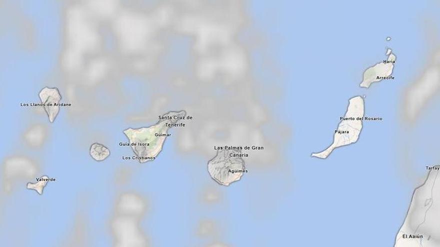
The main concern for Friday is the strong northeast wind. High gusts are expected in the southeast and west, as well as across the southern slopes of the metropolitan area and higher elevations, where winds could intensify significantly by the afternoon. This alert applies to the entire archipelago; Gran Canaria, La Palma, La Gomera, El Hierro, Lanzarote, and Fuerteventura should all prepare for moderate to strong winds, particularly in low-lying areas and on mountain peaks.
The instability will also affect the surrounding waters. Aemet warns of force 5 to 6 winds, which will create rough to very rough seas with swells reaching up to two meters. Given these seasonal conditions, residents and visitors are advised to follow official guidance and remain cautious in exposed areas.