Aemet Issues Weather Warnings as Rain and Strong Winds Hit Canary Islands
The Canary Islands face worsening weather conditions today, with Aemet forecasting rain, strong winds, and a yellow coastal warning for rough seas.
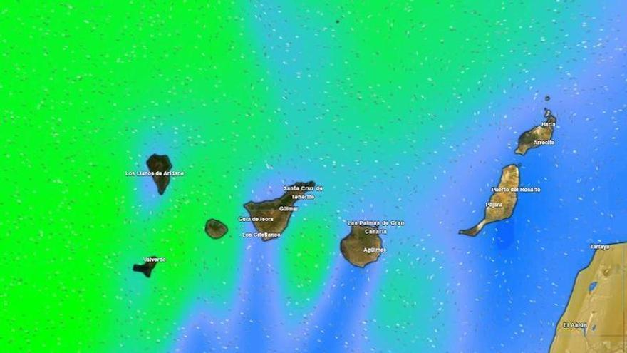
Unsettled weather is returning to the Canary Islands this Tuesday, with conditions expected to worsen across the archipelago throughout the day. According to the State Meteorological Agency (Aemet), cloud cover will move from west to east, bringing rain that will primarily affect the northern slopes of the higher islands.
In Tenerife, the morning will see variable skies with scattered showers in the northern midlands, becoming heavier by midday. Clouds will thicken in the afternoon, with light to moderate rain likely spreading to the eastern midlands. La Palma will see rain from early in the morning, while the front is expected to reach Lanzarote and Fuerteventura by the end of the day.
Temperatures will remain steady along the coast, but will drop slightly in the interior and at higher altitudes. This cooling will be most noticeable in daytime highs, with a risk of light frost near Mount Teide.
Strong winds are also expected, shifting to the north. Authorities have warned of potentially strong gusts on the eastern and western slopes of the mountainous islands, as well as across the ridges and northeastern midlands of Tenerife during the afternoon.
Additionally, a yellow weather warning for coastal conditions will be in effect for La Palma and El Hierro starting at 9:00 p.m. Aemet has warned of rough seas, with waves reaching four to five meters. Residents and visitors are urged to exercise extreme caution in port areas and along exposed coastlines.