Aemet Issues Weather Warning for Canary Islands as Strong Winds and Rough Seas Return
The State Meteorological Agency has issued a warning for unsettled weather across the Canary Islands this Friday, featuring strong winds, rough seas, and localized rain.
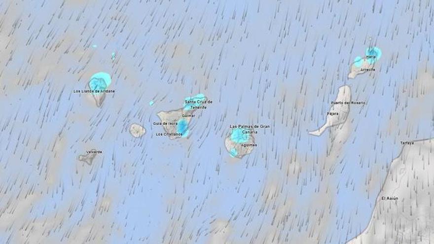
Unsettled weather is returning to the Canary Islands this Friday, according to the State Meteorological Agency (Aemet). Expect overcast skies in the north, along with stronger winds and rougher seas that may impact daily activities.
The weather will vary significantly between the north and south. While light rain is expected in northern areas, it may become more persistent in the mid-altitude regions of La Palma. The south will see more sunshine, though scattered showers are possible by late afternoon. In Gran Canaria, inland temperatures are expected to drop slightly, with highs of 22°C in Las Palmas, while Santa Cruz de Tenerife will see highs of 25°C.
Strong winds from the north and northeast will be a major feature of the day. Gusts could become very strong on mountain peaks and in exposed areas, particularly along the Tenerife ridge and the southeastern and western parts of Gran Canaria.
These conditions are also affecting the sea. Aemet has warned of worsening maritime conditions, with winds reaching force 4 to 6. A northerly swell will create waves between one and two meters, leading to rough seas on exposed coasts. The islands' volcanic terrain often channels these trade winds, intensifying gusts at higher altitudes, so residents and visitors are advised to exercise caution both at sea and in higher inland areas.