Aemet Issues Warning for Strong Trade Winds and Rough Seas in Canary Islands
The State Meteorological Agency has issued a warning for the Canary Islands as persistent trade winds and rough seas are expected to impact the region this Tuesday.
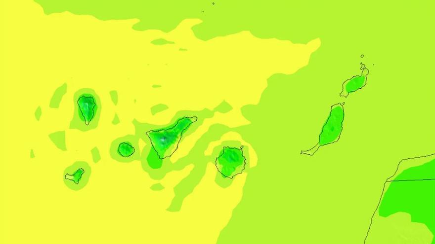
The State Meteorological Agency (Aemet) has updated its forecast for this Tuesday, warning that trade winds will continue to affect the Canary Islands. These winds will primarily impact the southeastern and northwestern slopes of the higher islands, influencing both the weather and sea conditions across Tenerife and the wider province.
Aemet reports that the winds will affect both the "feels-like" temperature and the state of the sea. Forecasters expect wind speeds of force 5 to 6, with temporary gusts reaching force 7 in certain southeastern and western areas. This will lead to rough or very rough seas, though sheltered southwestern areas should remain calmer with lighter, variable winds.
In northern Tenerife, expect low-hanging clouds—mostly below 1,000 meters—with some clear spells around midday. By the end of the day, the cloud cover will likely rise to between 1,200 and 1,300 meters, bringing a chance of light rain to the northeastern midlands. Temperatures in the capital will remain stable, between 20°C and 26°C.
This weather pattern is typical for the region. While the northern parts of the islands will be cloudy, the rest of the territory can expect clear skies. There will be a noticeable temperature difference across the islands; for instance, inland areas of Gran Canaria could see temperatures reach 30°C.
Authorities advise caution for anyone planning nautical activities or visiting areas exposed to the wind, as these conditions can pose risks. While temperatures are expected to remain steady, sea conditions will be variable, with a northerly swell reaching up to two meters in exposed areas.