Aemet Forecasts Stable Weather for Canary Islands Amid Strong Coastal Winds
The Canary Islands will experience stable weather this Tuesday with persistent trade winds causing a split between cloudy northern slopes and sunny conditions elsewhere, while Aemet warns of rough seas and strong winds in specific coastal areas.
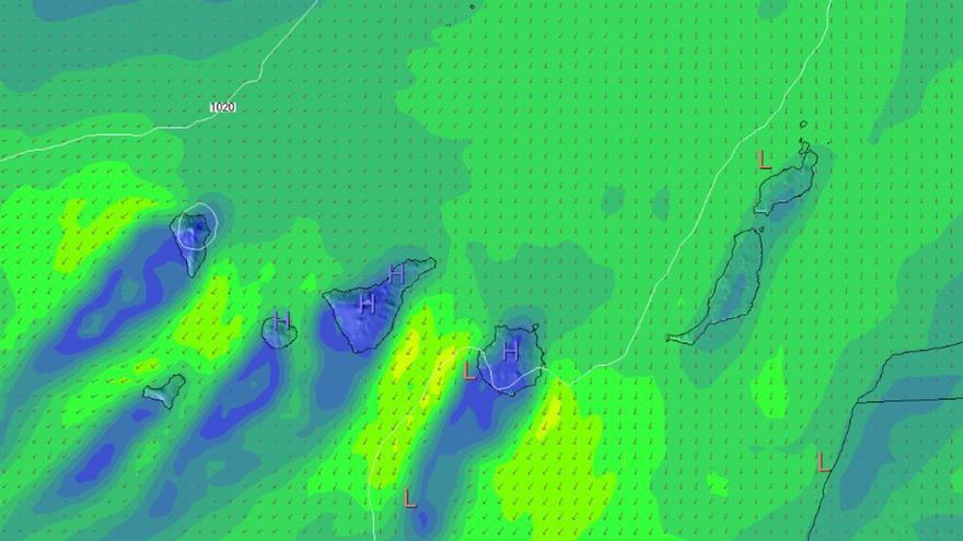
The Canary Islands will see stable weather this Tuesday, according to the State Meteorological Agency (Aemet). Trade winds continue to shape the forecast, creating a clear divide between the northern slopes and the rest of the islands.
In Tenerife, low clouds will mainly affect areas below 1,100 to 1,300 meters, particularly in the northeast. These clouds should clear as the day progresses, leaving the rest of the island mostly sunny. Temperatures in Santa Cruz de Tenerife will stay steady, ranging from 19°C to 28°C. Moderate northeasterly winds are expected, with stronger gusts in the northwest and southeast, while the peaks will see a light breeze.
This pattern is consistent across the other islands, with clouds largely confined to northern areas below 900 to 1,200 meters. In Gran Canaria, the cloud cover will lift during the middle of the day, except along the northern coast. Lanzarote and Fuerteventura will start cloudy but turn sunny, though strong winds are possible in Jandía by the afternoon. La Palma, La Gomera, and El Hierro will also see northern clouds gradually dissipate.
Conditions at sea require caution. Aemet warns of force 4 to 5 winds, which could reach force 6 in the southeast and far northwest, leading to rough or very rough seas. In contrast, western coasts will see lighter, variable winds between force 1 and 3. Mariners should remain vigilant, as the islands' volcanic terrain can often channel and accelerate winds, creating localized conditions that differ from the general forecast.